 =0=
=0=
 =0=
=0=
 =0=
=0=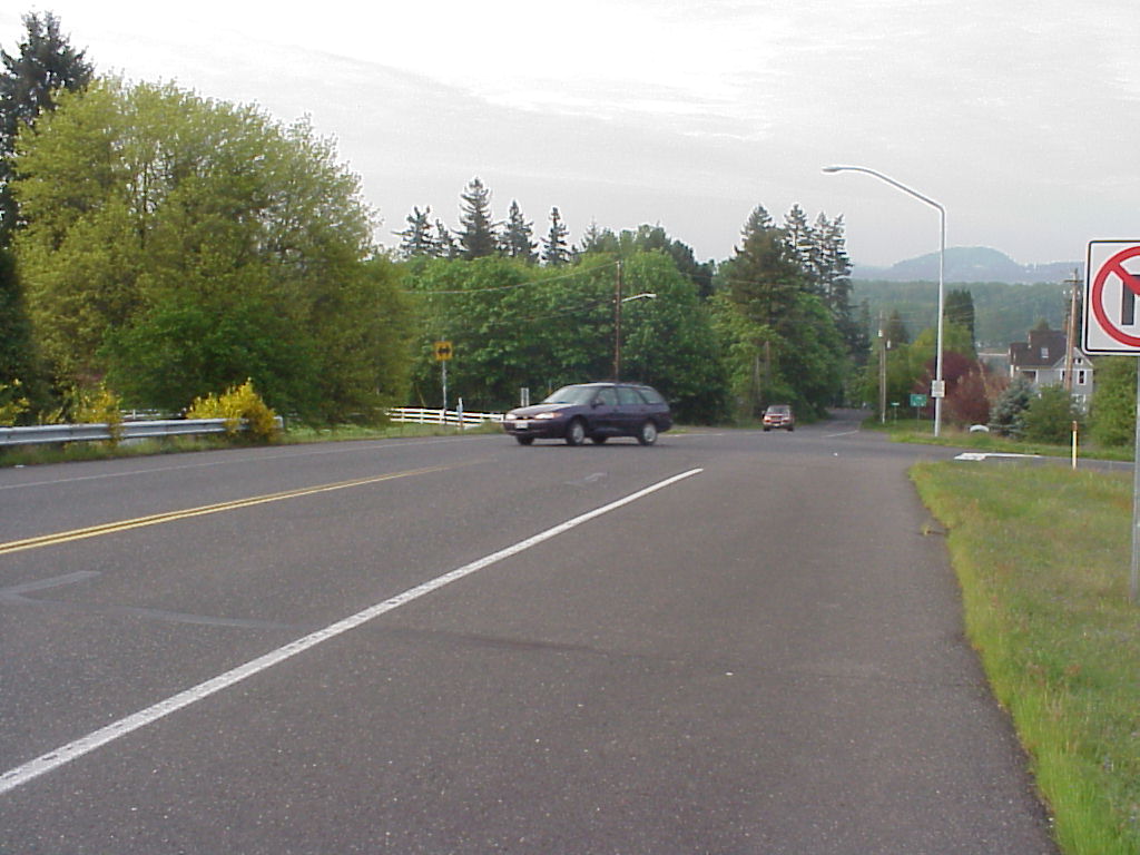
 =0=
=0=
 =0=
=0=
 =0=
=0=
 =0=
=0=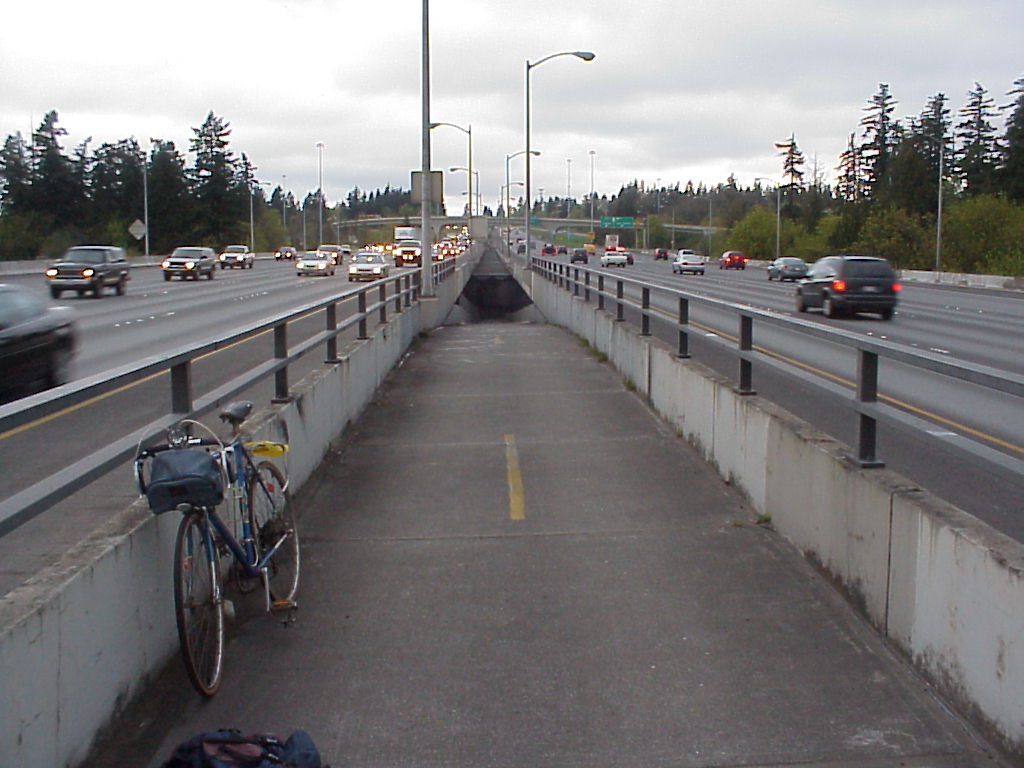
 =0=
=0=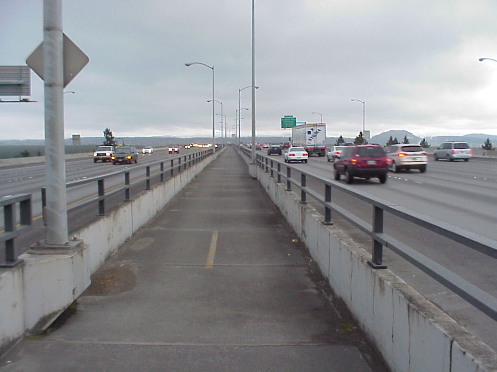
 =0=
=0=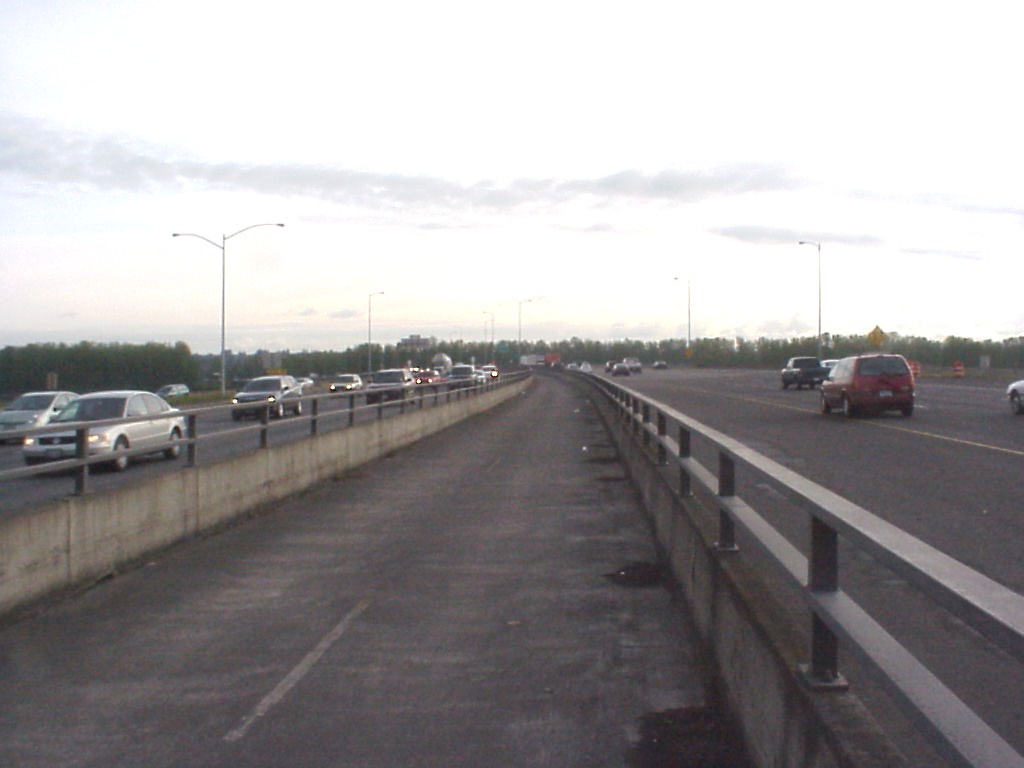
 =0=
=0=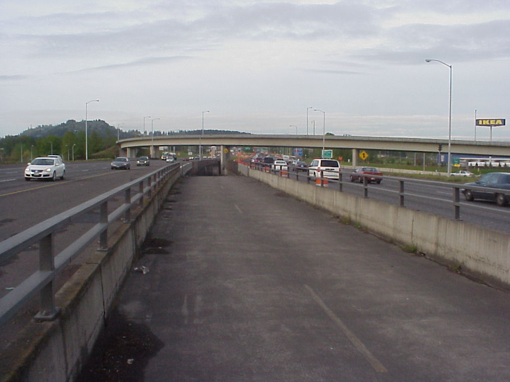
 =0=
=0=
 =0=
=0=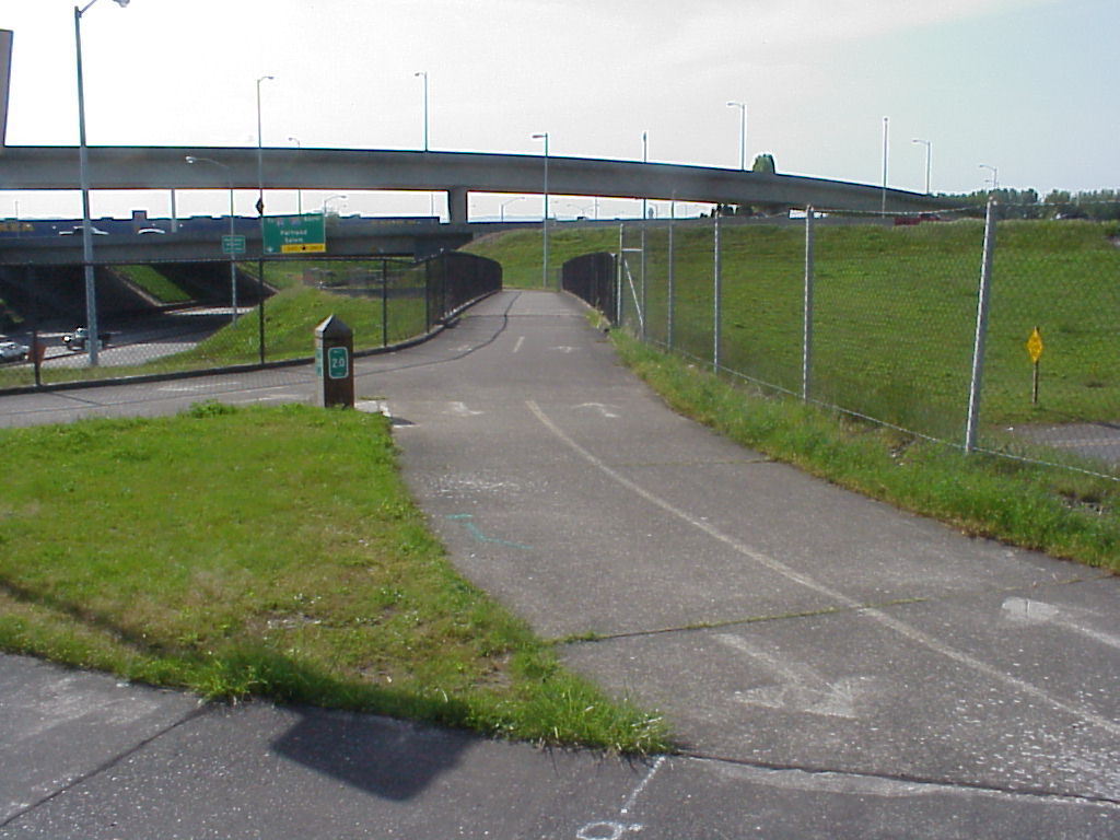
 =0=
=0=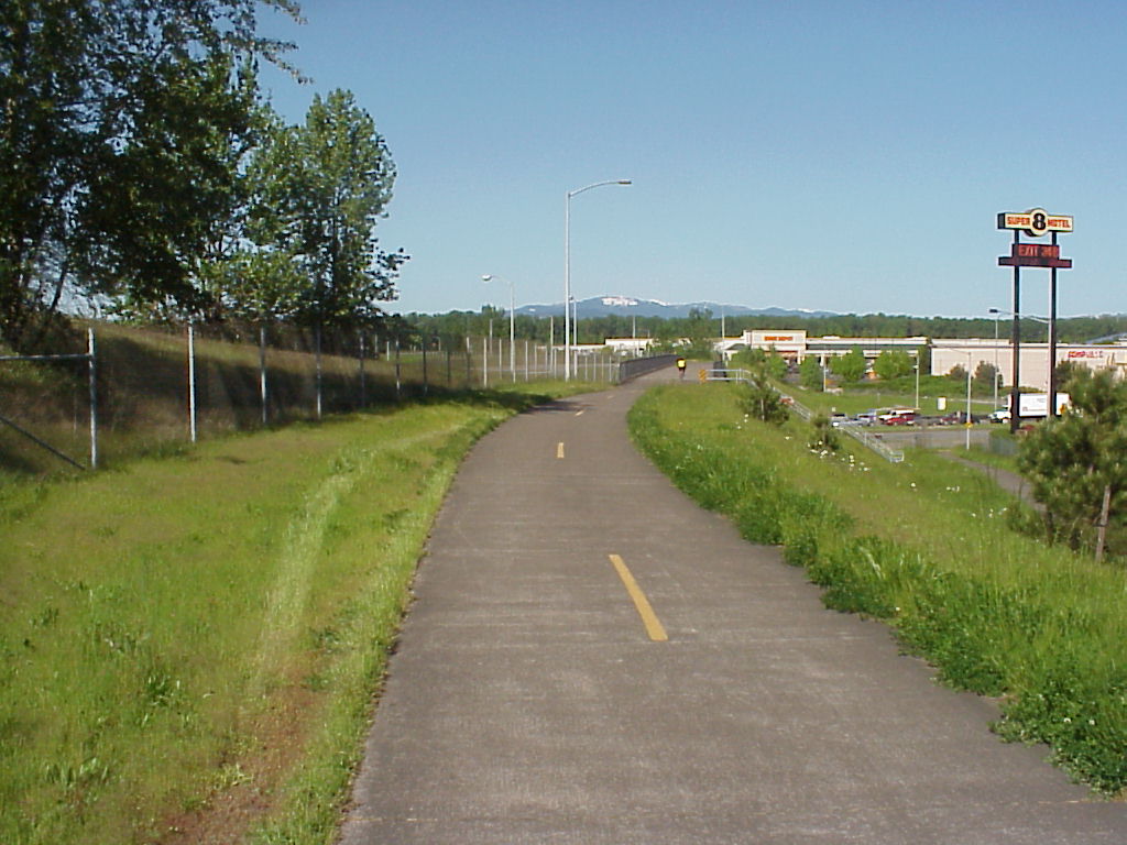
 =0=
=0=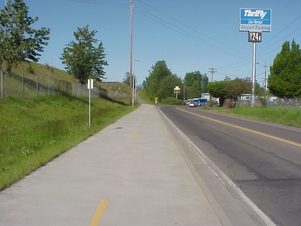
 =0=
=0=
 =0=
=0=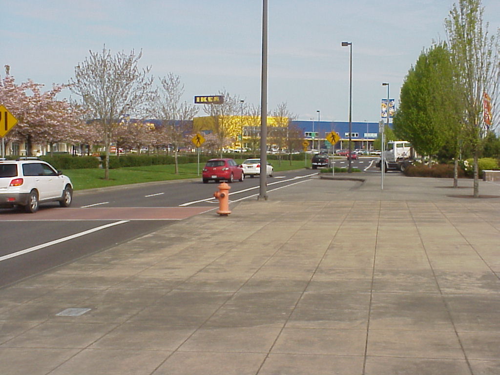
 =0=
=0=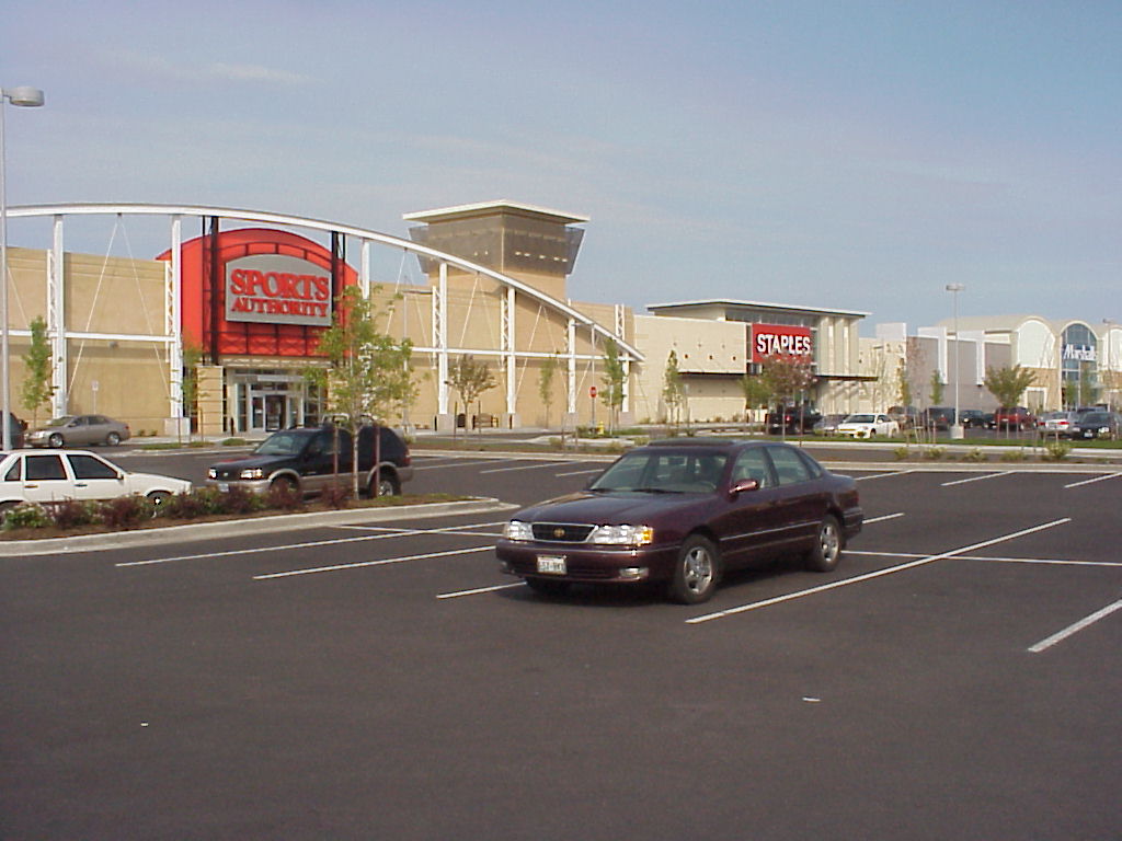
 =0=
=0=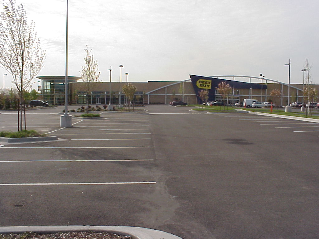
 =0=
=0=|
=0= |
=0= |
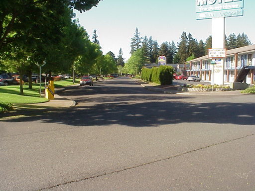
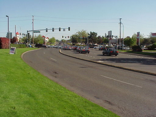
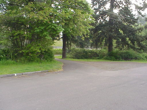
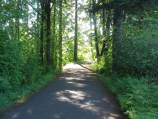
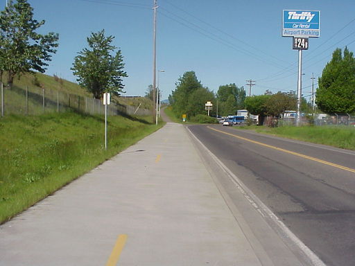
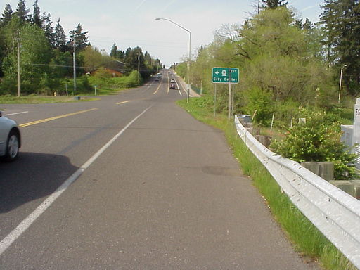
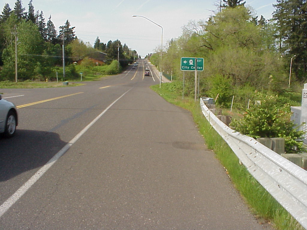
| While I was doing without my car, I still could commute in to work on the express buses, but they only ran M-F in the morning and afternoon. If I wanted to go to Sufi dance or anything else in the evening, I needed to make other arrangements. I found that I could take my bike to the Max (or local light rail) which runs much later. The route starts out on the little road to the Autumn Chase aprtments, 115th Avenue (above, that is a view back to my complex). That picture also shows the Guest House Motel on the right where David and Barbara stayed when they visited in the summer of 2006. After that, the route then goes on pretty major streets like Chkalov Avenue crossing Mill Plain Road (also above). As I approach the river, it is downhill crossing Route 14 (here) and then turns left onto a tiny residential road (clearly marked once you see the green sign, but hard to find if you don't know what you are looking for). The residential road ends with a bike path off to the left (below). The path parallels Route 14 (a freeway kind of road) but gets very pretty along a section where it veers away from 14 to around some wetland. |
=0= |
|
=0= |
=0= |
|
=0= |
=0= |
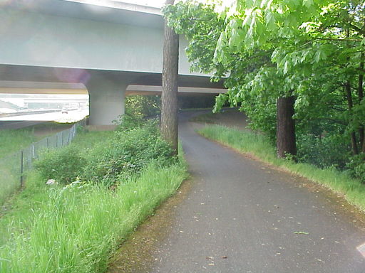
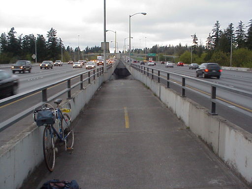
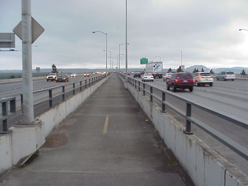
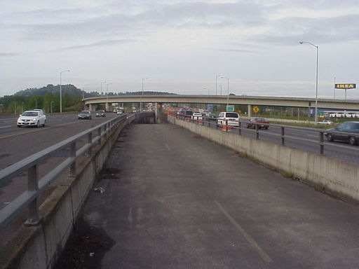
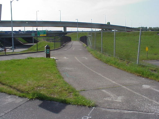
| The path then goes up a ramp (shown above) or down if you are going the other way (also above). From there it is a couple of miles down the center of Interstate 205 (shown here) taking you across Government Island. Once you are across Government Island (an island with no road access even though 205 goes across it) it is a short stretch to Oregon shown below with another ramp down the center. |
=0= |
|
=0= |
=0= |
|
=0= |
=0= |
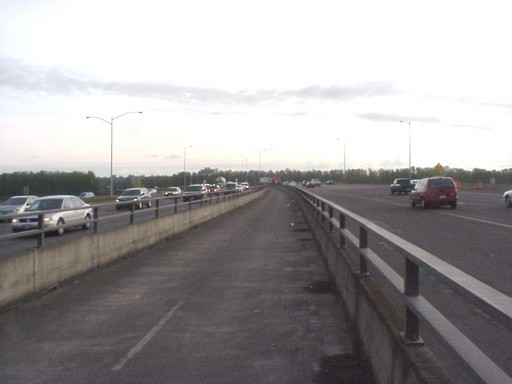
| As you head down the ramp on the Oregon side you again turn left (Airport Way is ahead and below) and then cross a couple of bike bridges (shown above, the second picture is a view back toward 205) to get across Airport Way and the connection to Marine Drive. Here is view back toward Airport Way on the bike path. Then you head down the path and along beside 205 (below is view back toward Airport Way). After a block or so, there is a left under 205 and along Alderwood Road which takes you to train station below. |
=0= |
|
=0= |
=0= |
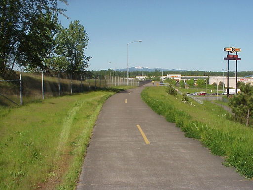
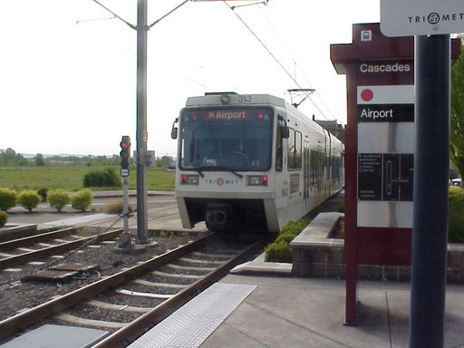
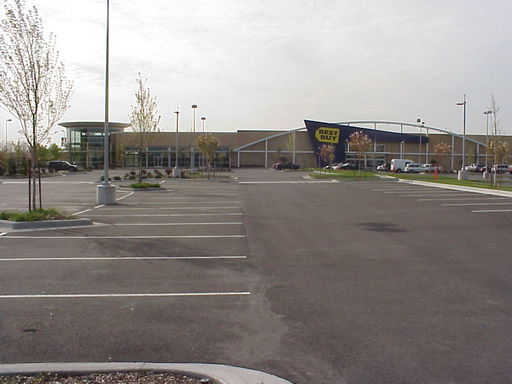
| The whole route to the MAX station is about six miles and I have been trying to bicycle to the MAX about once a week since I got my car back. It is a nice work out. The MAX station is in a new mall area with IKEA, right next to the airport. It has lots of new stores, but not that much traffic as yet. If I need to go by Staples or Best Buy, I drop by on my home. The architectural theme for the stores seem to the airport with a mock control tower. |
=0= |
|
=0= |
=0= |
| Speaking of work outs. The 205 bridge is slightly downhill on the way to Oregon and uphill on the way home. Further, there is a serious up hill on Ellsworth Avenue (shown here) just after the bridge and trail. It doesn't look like much here, but it is probably a 15% grade for a half mile, but feels like a 30% grade for a full mile (at least to my legs). |
=0= |
This page was last updated on May 28, 2008.